Knowledge Products, Spatial Data & Updates
Explore approved reports, technical monographs, geospatial maps, multimedia archives, and central biodiversity databases produced by the Maharashtra Gene Bank Programme consortium.
Reports & Publications
MGBP Executive Summary & Comprehensive Project Report
The consolidated multi-institutional final report documenting thematic outputs across 24 districts, coordinating outcomes from IISER Pune and RGSTC.
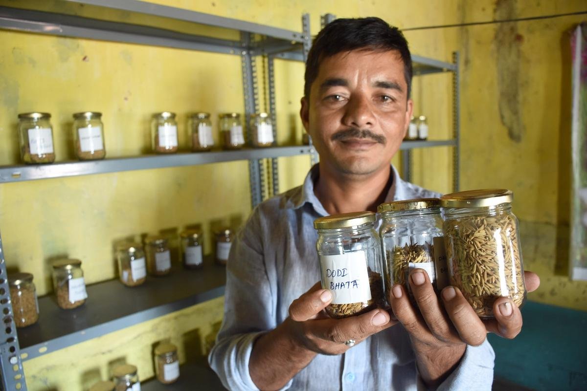
Catalogue of Indigenous Crop Landraces & Seed Savers
Detailed morphological descriptions and passport data for 533 farmer varieties across rice, millets, and pulses catalogued under PPV&FRA.
Samagra Dangi: Traditional Pastoralism & Breeding System
An ethno-veterinary and genetic profile of the hardy Dangi cattle breed of the Sahyadris, documenting traditional migratory herdsmen practices.
Step-by-Step Community Tank Restoration Manual (Marathi)
Practical handbook for fishing cooperatives on desilting Malguzari tanks, eradicating invasive weeds, and restoring indigenous fisheries.
Guidelines for Sponge Taxonomy & Microbial Isolation
Scientific protocol for sampling marine Porifera along the Konkan coast and isolating biomedical bioactive metabolite producers.
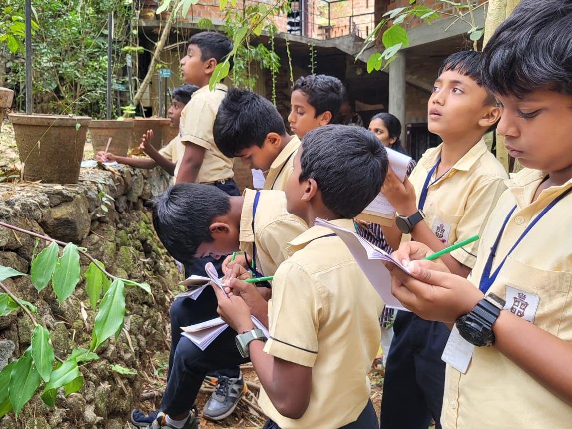
Shivar Feri: Biodiversity Walks & School PBR Handbook
Pedagogical manual guiding high school educators and rural barefoot ecologists in conducting seasonal species documentation walks.
Maharashtra Gene Bank Relational Database (PostgreSQL / PostGIS)
Developed and curated by IISER Pune, the central database standardizes millions of verified records across all seven themes: crop landrace accessions, indigenous livestock pedigrees, freshwater fish inventories, grassland floristic transects, community forest ethnobotanical trees, and marine microbial isolates.
Open Data Architecture
Standardized queries, Darwin Core compatible, with georeferenced specimen records and spatial polygon layers.
Maps & Spatial Data
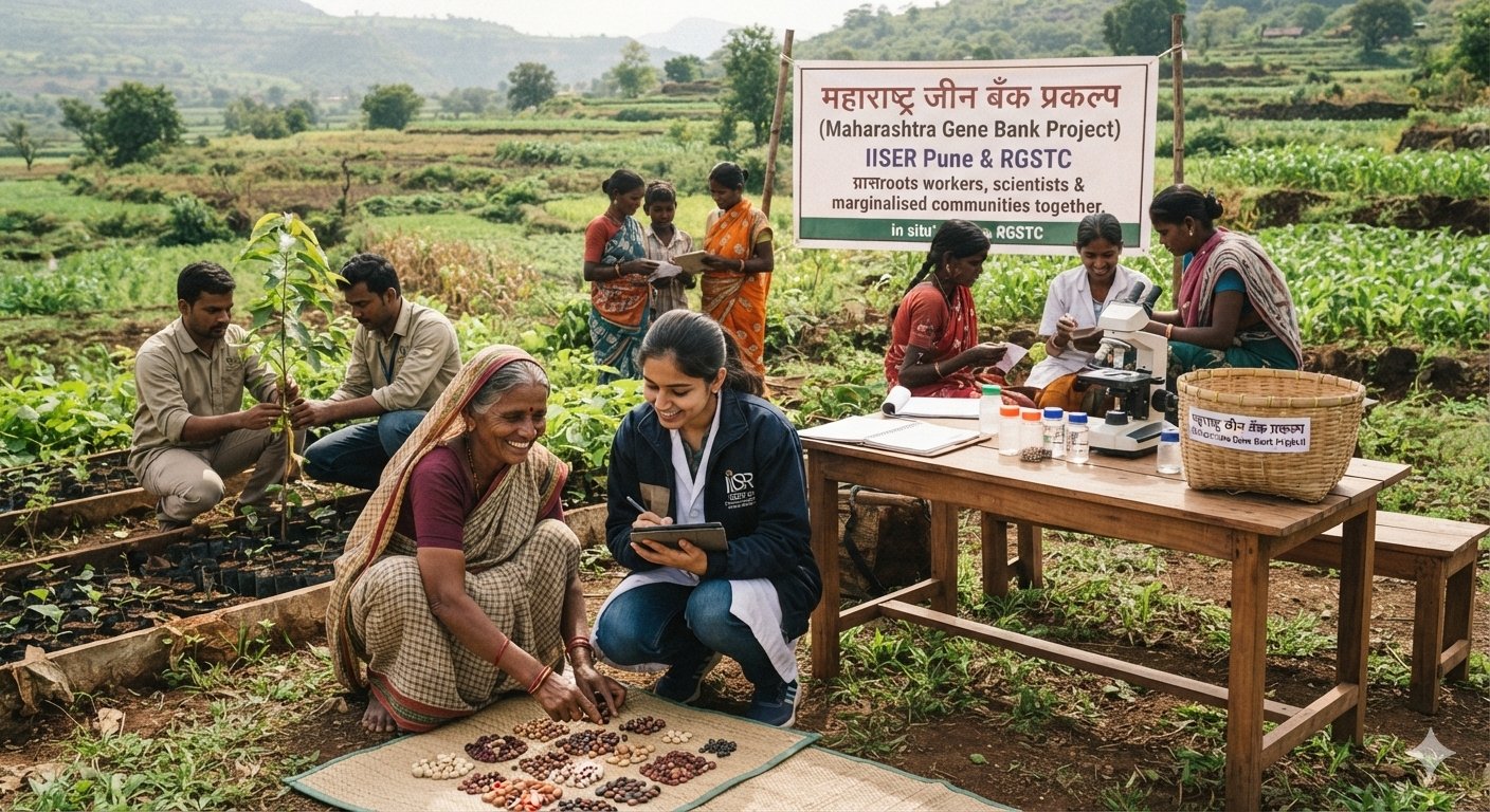
Thematic District Coverage Map
Geospatial distribution of all 7 MGBP intervention themes across 24 surveyed districts in Maharashtra.
Explore Interactive Map →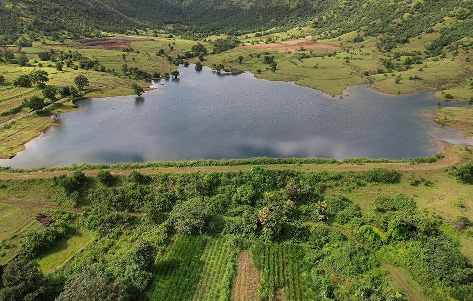
Wainganga Tank System Layers
High-resolution spatial mapping of reserved biodiversity tanks and restored hydrological catchments in Bhandara.
View Tank Polygons →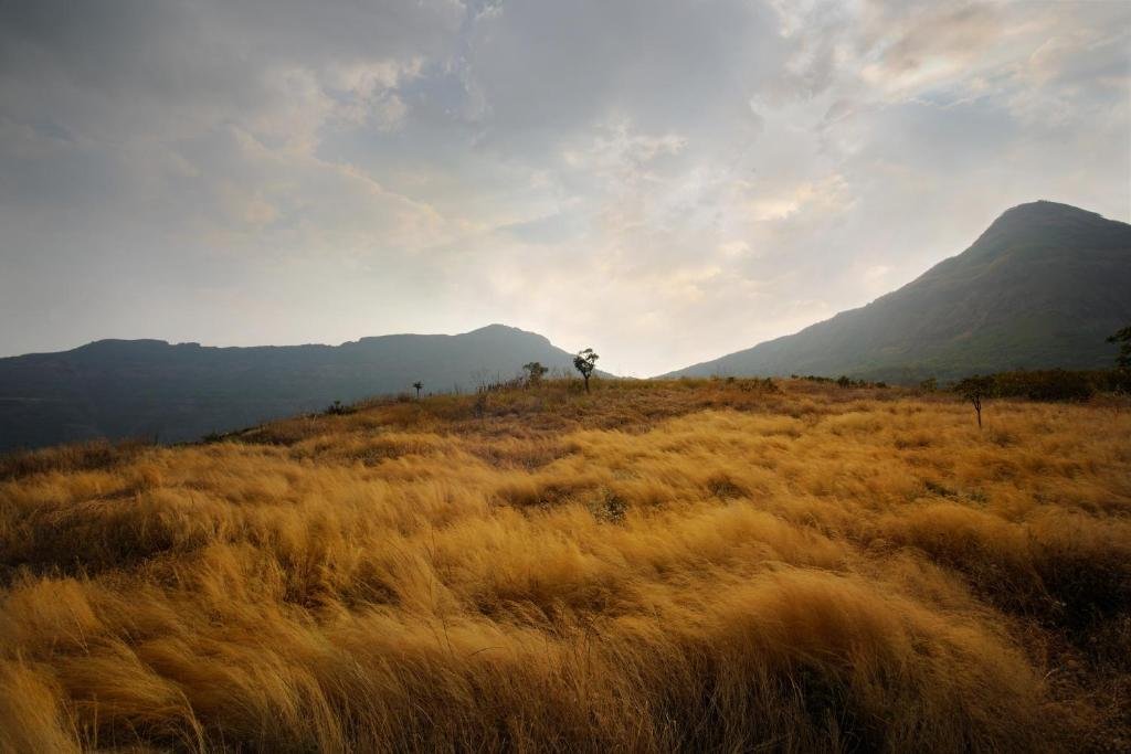
Grassland & Lesser Florican Transects
Spatial habitat boundaries and breeding sightings of Lesser Florican in the Vidarbha semi-arid ecosystem.
View Habitat GIS →Photo Gallery
Videos & Documentaries
Seeds of Sovereignty (Marathi/English)
Documentary chronicling the women seed saver networks of Jawhar and Akole safeguarding tribal crop heritage.
Duration: 18 mins • CEE Production
Living with Dangis: The Western Ghats Herds
Insight into the pastoralist lifecycle, seasonal monsoon migrations, and community breed conservation.
Duration: 22 mins • BAIF / Lokpanchayat
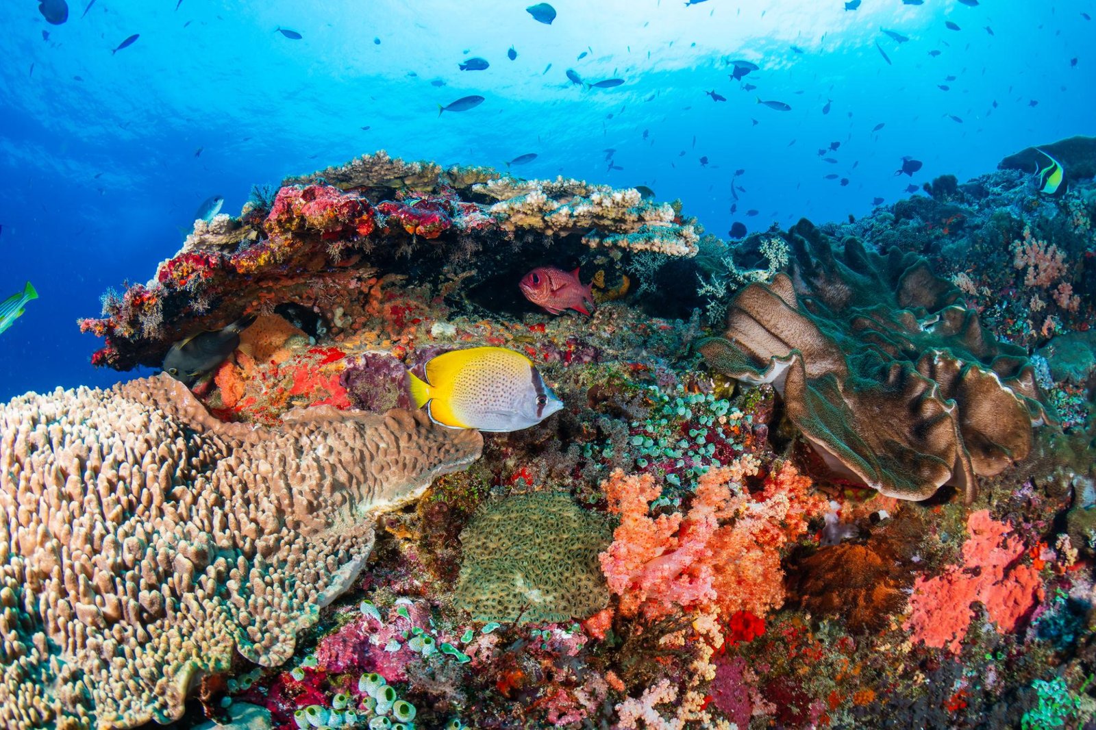
Treasures of the Konkan Seabed
Scientific expedition exploring sponge biodiversity, coral reef bleaching at Malvan, and marine microbiology.
Duration: 26 mins • IISER Pune / NIONews & Updates
Govt. of Maharashtra Constitutes Joint Grassland Working Group
In recognition of MGBP research findings, a high-level committee between the Animal Husbandry and Forest Departments was formed to establish standard operating procedures for grassland conservation.
State Resolution IssuedCAMPA Approves Community Grassland Restoration Proposal
A state-level ecological restoration plan integrating local pastoral communities and indigenous fodder grasses was formally approved under CAMPA compensatory afforestation funds.
Implementation Underway