Maps & Spatial Biodiversity Datasets
Georeferenced spatial data generated by the Maharashtra Gene Bank Programme combines remote sensing imagery, high-resolution GIS shapefiles, and ground validation surveys across agro-climatic zones, river basins, and coastal shelf ecosystems.
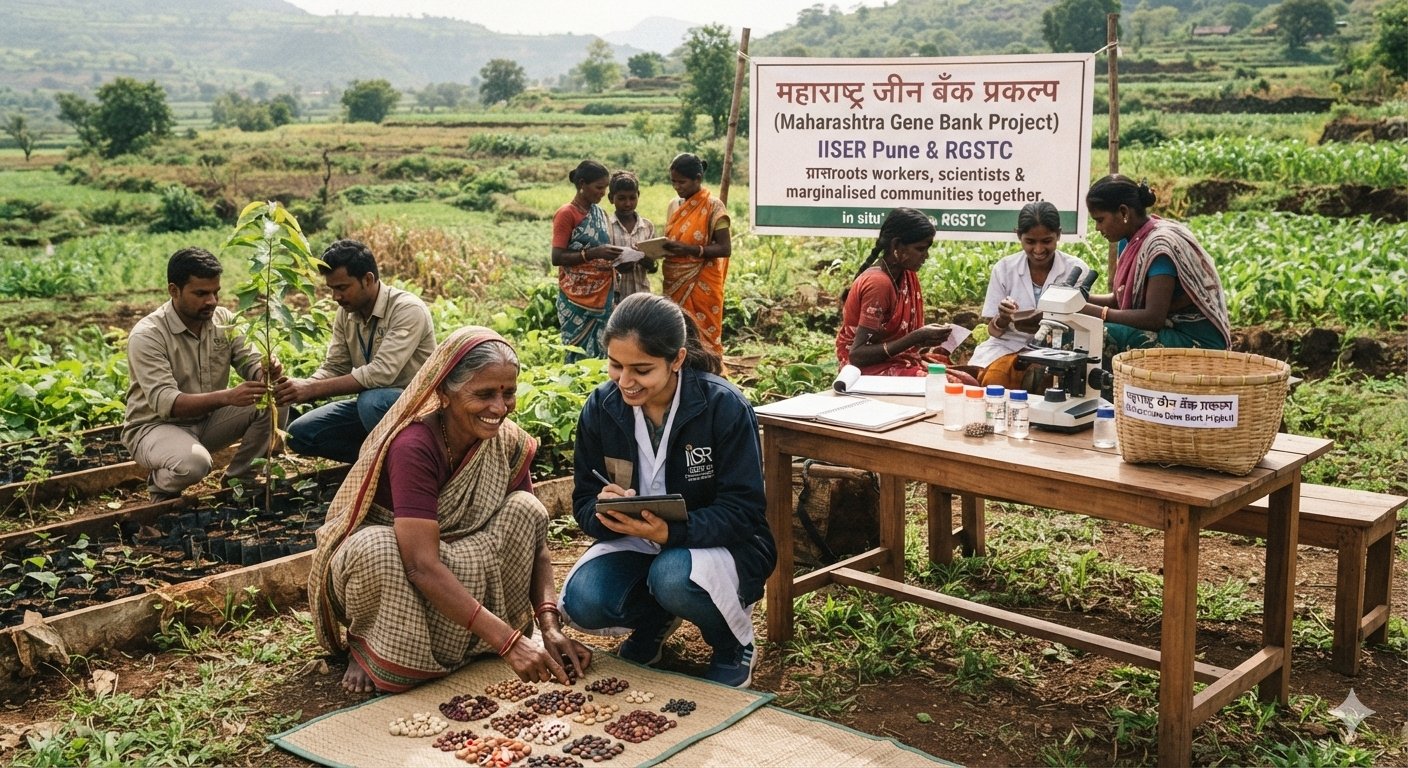
Thematic Interventions & District Boundary Map
Statewide spatial distribution layer covering 29 districts where MGBP thematic programs (marine, crop, livestock, freshwater, grassland, forest, and IEC) have active field stations.
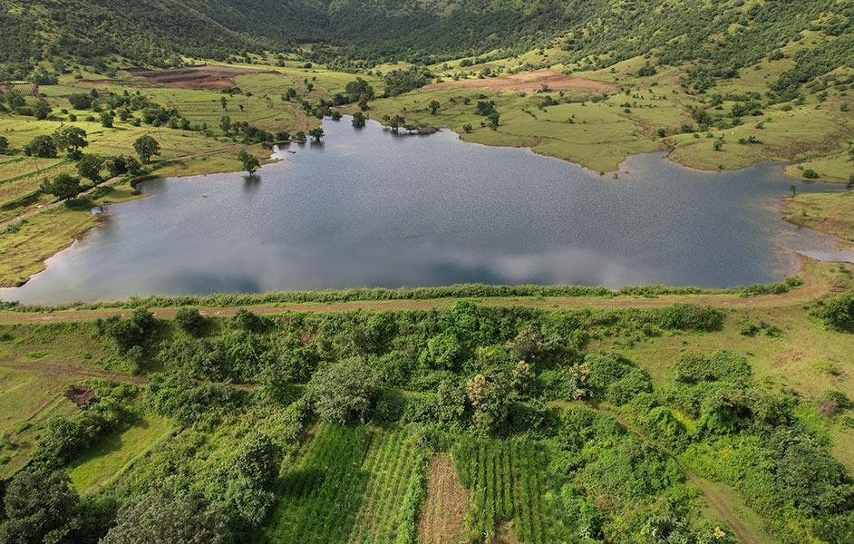
Malguzari Tank Hydrological Basin Catchments
High-resolution polygon boundaries of 12 restored historical tanks (281.8 ha) in Bhandara and Gondia districts with bathymetric and riparian vegetation indices.
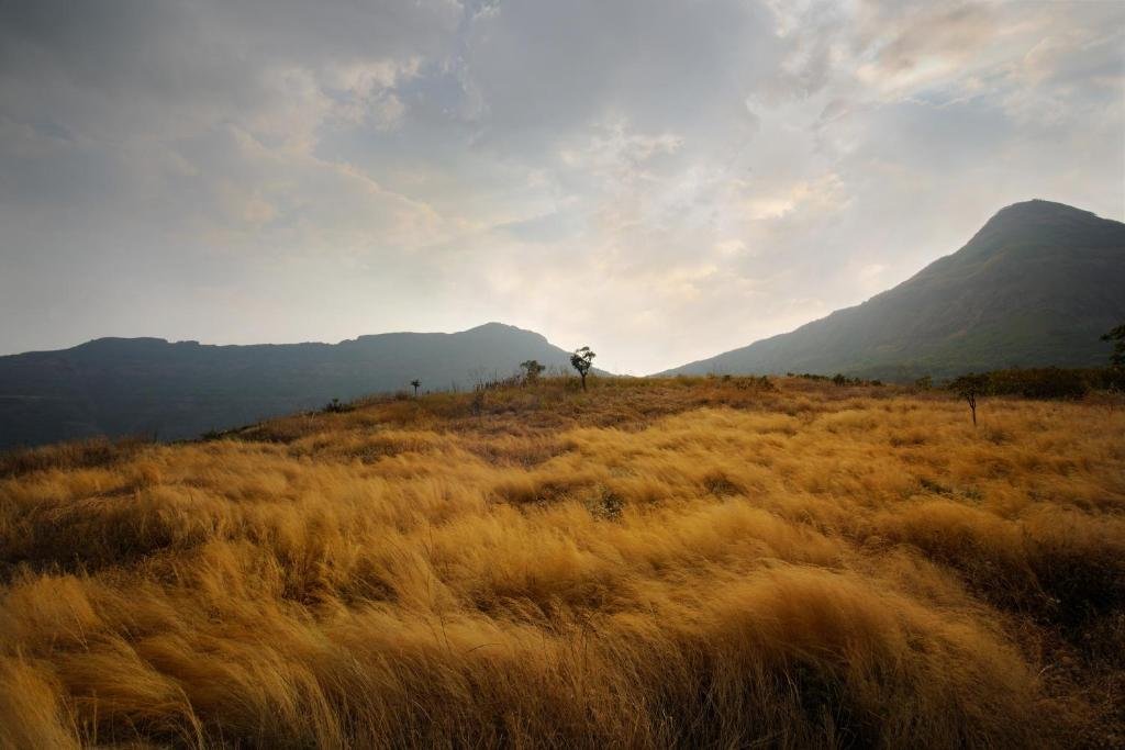
Grassland Enclosures & Lesser Florican Sightings
GPS-tracked breeding territories, seasonal display sites, and 2,000 ha rotational savanna grazing enclosures across Dhule, Lamkani, and Ahmednagar grasslands.
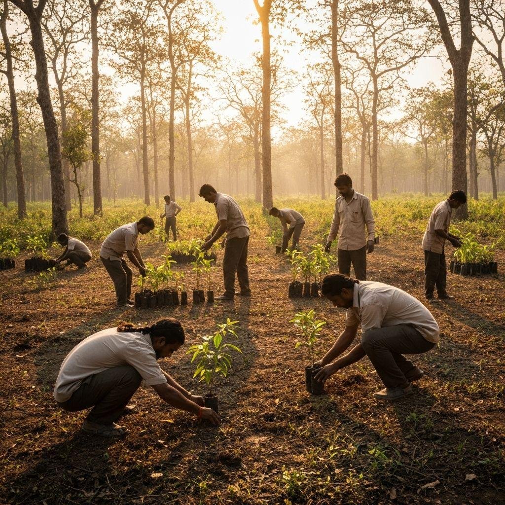
Sacred Groves (Devrais) Western Ghats Distribution
Cadastral mapping of 35 climax relic sacred groves in the northern Western Ghats corridor, documenting canopy closure and native climax tree diversity.

Sindhudurg Shelf Benthic & Sponge Survey Transects
Subtidal dive transect coordinates, intertidal quadrat locations, and rocky substrate bathymetry mapped along the 720 km Maharashtra coastline.
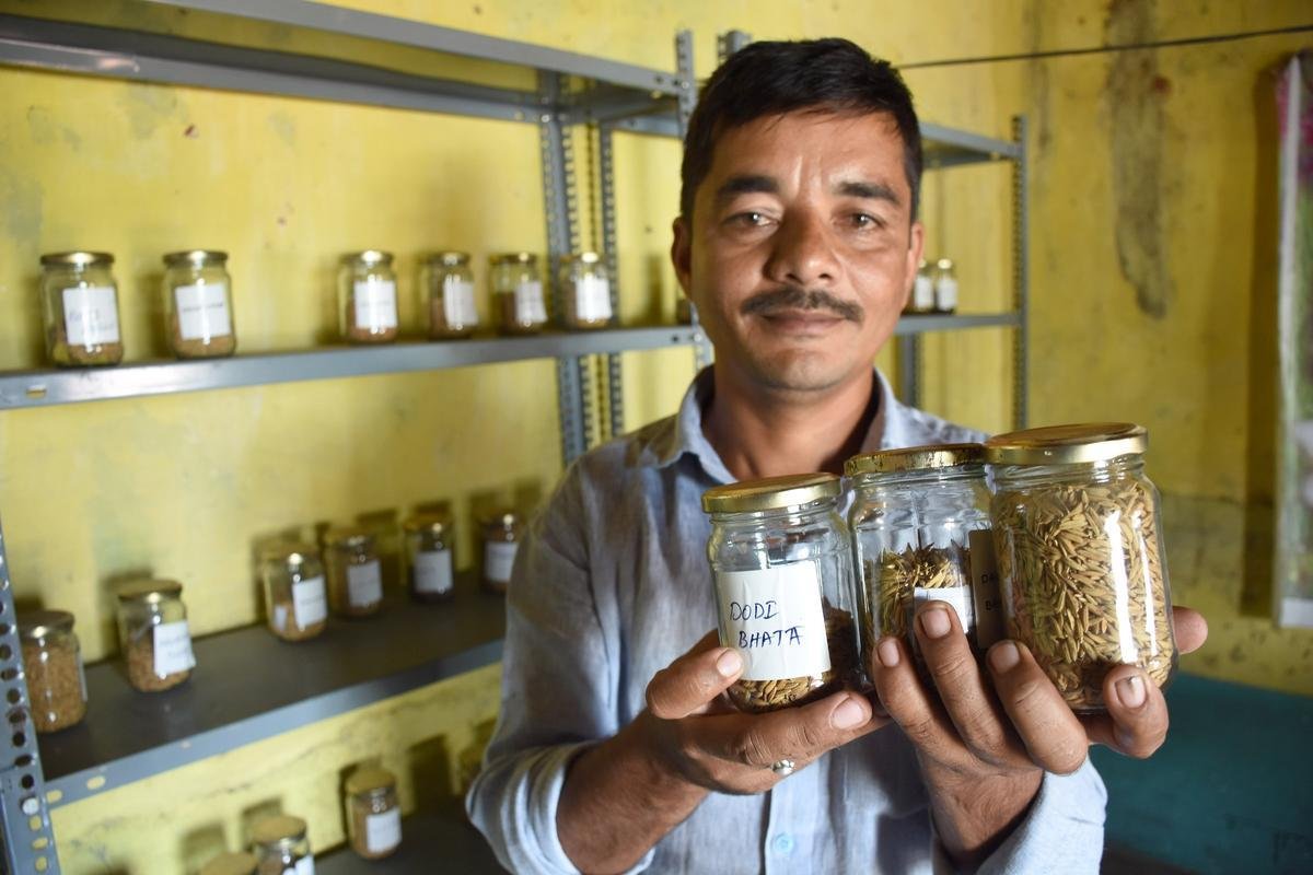
Village Seed Bank Network & Landrace Hotspots
Spatial village centroids across 248 participating tribal villages in Ahmednagar, Nandurbar, and Gadchiroli hosting community seed banks.
Need Geospatial Datasets for Research or Planning?
GIS shapefiles (.shp), GeoJSON layers, and remote sensing classification rasters are available under academic data-sharing agreements approved by the IISER Pune Coordination Committee.
Submit Spatial Data Request →